


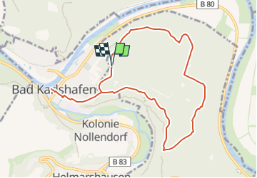

7.9 km | 10.2 km-effort

Tous les sentiers balisés d’Europe GUIDE+


FREE GPS app for hiking
 SityTrail
IGN / Geographical institutes
SityTrail World
The world is yours!
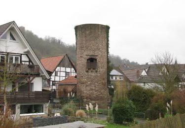
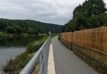
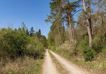
Trail On foot of 8.8 km to be discovered at Hesse, Landkreis Kassel, Gutsbezirk Reinhardswald. This trail is proposed by SityTrail - itinéraires balisés pédestres.
Website: https://www.tourinfra.com/geocFramework_np_reinhardswald_leaflet/samples/details.php?id=113969


On foot
On foot
On foot
On foot

On foot

On foot
On foot

On foot